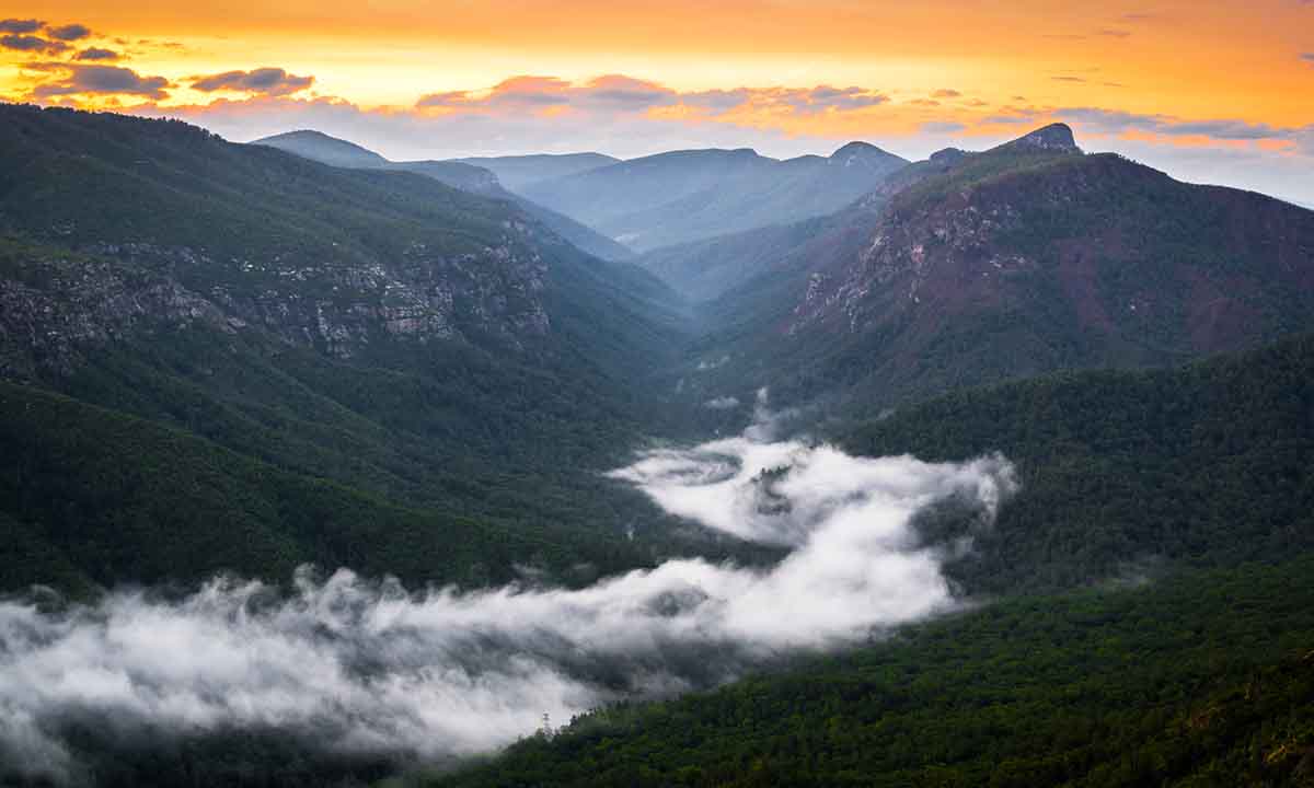

Many folks, even those who live in the Appalachian Mountains, aren’t aware of the craggy swath of land in the northern corner of Western North Carolina, where the earth appears to crack wide open and a rousing river runs below the cliffs.
Videos by Outdoors
About an hour and a half north of the freewheelin’ city of Asheville, the rugged Linville Gorge—known as Eeseeoh or the “River of Cliffs” by the Cherokee—often flies under the radar due to its remote nature. Those who know about this lush, complex, and quartz-dappled slice of wilderness consider it the “Grand Canyon of the East.”
In some ways, that comparison sounds silly; Linville Gorge is about 18 square miles large, while the actual Grand Canyon encompasses 1,902 square miles. But what Linville lacks in size, it makes up for with its intricate caverns and trail systems, climbing faces, waterfalls, and mysterious history of “Brown Lights.”
If you’re interested in climbing, caving, hiking, or backpacking this wilderness area, it’s best to have a plan and printed map in advance, as cell service is limited and the terrain is marked inconsistently.
Where to Hike and Backpack
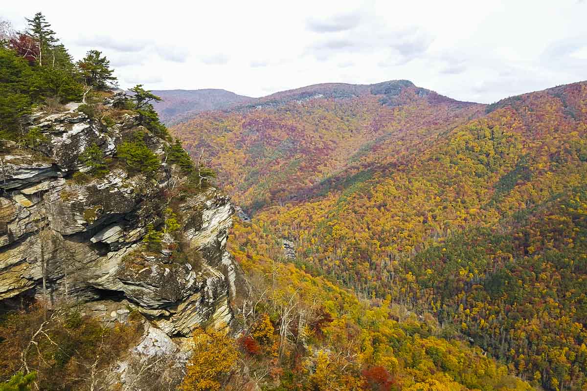
There are two main approaches to exploring the gorge: inside or around the rim. You can technically hike in and around the entire gorge, but that requires river crossings and a lot of technical knowledge of the trail system (like we said, many trails aren’t marked clearly), so most people usually stick to a certain quadrant—unless the mission is a hardcore backpacking trip.
If you don’t want to wreck your quads, we’d recommend staying up on the cliffs that surround the river. Capping at around 4,000 feet elevation, these high points offer moderate-to-difficult hikes with sweeping views of the gorge, as well as dense labyrinths of old-growth forest.
Perched on the southern tip of the gorge, the 4.5-mile Shortoff Mountain hike has less vegetation due to wildfire damage but glimmers with quartz and stunning views into the gorge’s narrow depths.
On the northeast edge of the gorge, there are shorter trails, like Table Rock and Hawksbill Mountain that are under 2 miles long and show off the gorge’s stunning rock formations. There are plenty of great camping spots around here, making it an ideal place to depart for a short overnight trip. It’s also a prime location for rock climbers (more details on that in the next section). Be warned: the drive up to these trails, while totally doable by an average car, are narrow, gravely, and windy.
Also on the northeast edge, there are several trails that embark from the Linville Falls Visitor Center, which bring you to—you guessed it—Linville Falls, a towering, three-tiered waterfall. In the winter, the waterfall occasionally freezes over and intrepid ice climbers take advantage, attempting ascents on its 160-foot-tall face.
If you love steep, crazy trails, then the Pinchin Trail might be for you. Located on the western side of the gorge, this 2.6-mile out-and-back is not for the weak of heart, but it will plunge you 2,000 feet down, straight into the heart of the gorge. From there, the Pinchin links with a loose network of trails that follow the path of the Linville River. Down by the river, there are tons of primitive campsites, so this is another great destination for a backpacking trip or an ambitious day hike (so long as you set off early).
Note: If you plan on staying overnight, a free camping permit is required on weekends and holidays from May through October.
Climb on (and Inside) the Rocks
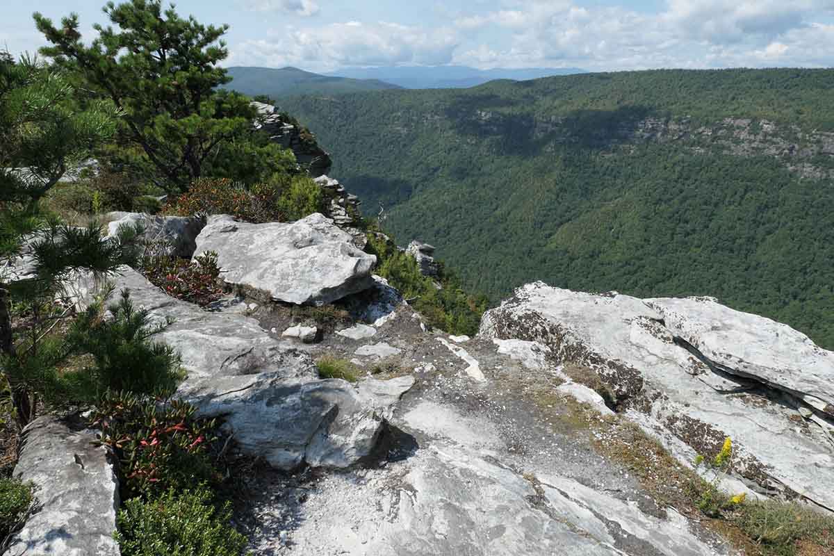
The abundant quartz deposits are just one of the many things that make Linville Gorge’s geology so interesting. The rock formations themselves are striking and bizarre, shaped by thousands of years worth of erosion from the Linville River and shifting tectonic plates. Throughout the wilderness area, the cracks and crevices—where slabs of rock crushed into each other and separated—are clear as day. It’s no wonder this has become a destination for rock climbers and cave crawlers alike.
For climbers, the Chimneys are popular climbing and bouldering spots in the gorge. Notched between Table Rock and Shortoff Mountain, the two peaks are dramatic with complicated rock structures, offering near-panoramic views of the gorge. The Chimneys are also close to the paved Table Rock picnic and parking area and plenty of primitive camping spots, making the whole area a prime base camp.
The cliffside trails mentioned above, including Hawksbill and Shortoff Mountain, also offer plenty of opportunities for trad climbing. Down below in the gorge, there’s a near-infinite amount of bouldering options.
While there are rumors of different caverns throughout the wilderness (which we invite you to track down), we recommend the privately owned Linville Caverns for a fully immersive experience. Anchored a touch beyond Linville Falls, the cave system offers adventurers a whole different view of the gorge’s complex geology.
The limestone caverns are thousands of years old, with cavernous rooms and tunnels of stalactites, stalagmites, and other colorful rock formations. Tours are available every 10 minutes during the cavern’s business hours and include a trip down to an underground lake full of blind fish.
