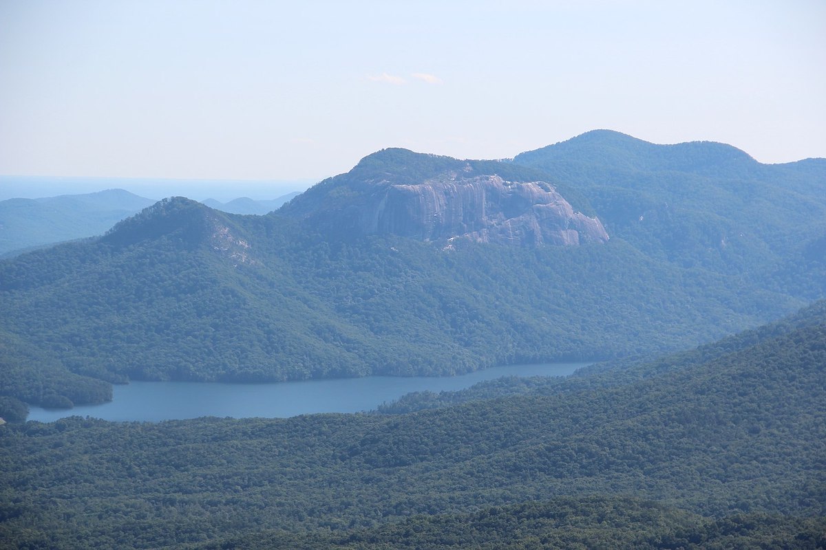

If you’re in the Greenville, South Carolina area and get a hankering for the outdoors, Table Rock State Park is a nice little adventure. While you can boat and fish, it also offers some of the best hikes in the Palmetto State. With that said, one stands out more than others: the Pinnacle Mountain Trail.
Videos by Outdoors
Out of all the Table Rock trails, Pinnacle Mountain offers one of the best experiences. It’s got fun and sometimes challenging terrain, it’s shaded if you decide to go out in the Carolina heat, and, of course, it’s got a magnificent view. In this article, we’ll go over what makes the Pinnacle Mountain Trail so great, plus cover some tips for getting the most out of it.
The Pinnacle Mountain Trail
The Pinnacle Mountain Trail is the longest trail inside Table Rock State Park in South Carolina. At 4.2 miles one way, it’s about a half-mile longer than the Table Rock Trail, and it measures just a few feet taller than it as well.
Managed by the South Carolina State Parks service, the Pinnacle Trail leads you up to the top of Pinnacle Mountain. Although it’s the highest point entirely surrounded by the state, it’s actually the second highest overall. The tallest mountain in South Carolina is Sassafras Mountain, which is shared with North Carolina.
The park service classifies the Pinnacle Mountain Trail as a “very strenuous” hiking trail. The trailhead begins at the park’s visitor center and then along the 8.4-mile round trip, you’ll cross over several small creeks, small footbridges, and ascend almost 2,300 feet.
At about 2.9 miles, you’ll find a short trail that leads to Mill Creek Falls. Then, about 3.6 miles in, you’ll reach Bald Knob Overlook, which allows you to look out to the distant mountains and nearby Greenville. From the Bald Knob Overlook, you’ll still have a little ways to go. You’ll walk across the overlook to the remaining bit of trail that leads to Pinnacle Mountain’s top.
Table Rock is open year-round, 7 AM-7 PM Monday through Thursday, but it closes at 9 PM on the weekend. Times are adjusted during Daylight Savings. Admission is $6 for adults, $3.75 for seniors, $3.50 for kids, and it’s free for kids five and under. Dogs are allowed on a leash.
Details
- Length: 8.4 miles
- Difficulty: Hard
- Time: 4 hours 45 minutes
- Elevation: 2,319 feet
Overall Experience

I hiked and ran the trail back in February 2022 with a friend of mine. We drove from Greenville to the park, which took about 45 minutes. The park is off of a country highway, but Google Maps worked just fine. Plus, a road cuts through the entire park, making it incredibly easy to find a place to park by the trail.
We were the first to arrive that day. Though the buildings were closed, the bathrooms were open. Plus, the surrounding parking lot was very spacious, largely due to it being empty. We paid admission by sliding money into a little dropbox, and then we both grabbed a bottle of water and headed out to the trailhead.
It’s a short walk from the visitor center to the trailhead, but once you get on the trail, it’s super easy to follow. It’s well-marked and maintained. There was never a point where we questioned which direction we had to go. Also, there were wooden planks to step on in the areas where it looked a little dicey.
Besides the distance and a few steep inclines, there were very few hazards. The trail was well-marked and cuts through the woods, so there was plenty of shade. However, with all the dirt and creeks, it has the potential to get muddy.
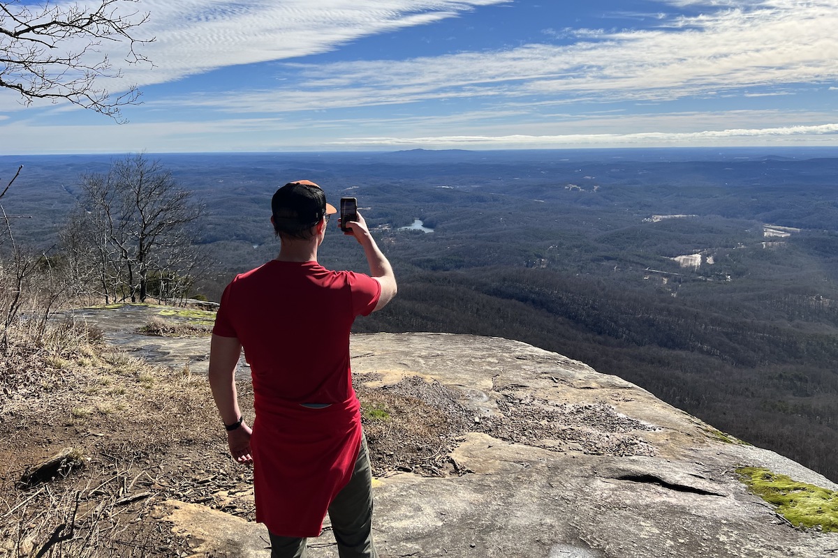
About those inclines, though, one was near a waterfall, where we had to climb over some rocks and roots. Next, the Bald Knob Overlook was an awesome sight to behold. On top of the rock, there was plenty of room to walk and look around. There was no reason to venture close to the edge, especially not for a dangerous selfie.
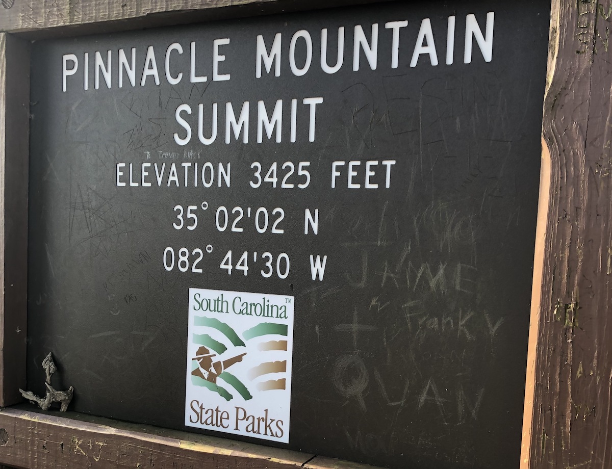
In many ways, the overlook felt like the end of the hike, and perhaps for some, it actually is, but we wanted to follow the trail to the end. Although it’s a short distance, it’s a rapid 800-foot ascent to the Pinnacle Mountain summit. When you get there, there’s nothing to really see, because it’s surrounded by trees.
It took us an hour and a half to reach the summit of Pinnacle Mountain and three hours flat to complete the loop. Though we started on an empty trail, we encountered quite a bit of foot traffic heading toward the summit on our way back.
Tips for Future Hikers
Essential Gear and Supplies
- A bottle of water or hydration vest. You will need more water in the summer to beat the Carolina heat.
- Hiking shoes or trail runners with tread, because it can get muddy. If you have ankle issues, you might want hiking boots for support, because there are exposed roots.
- Trekking poles are optional. We ran it with very few issues, but there are areas where you’ll need to watch your footing.
Best Way to Trailhead
- Table Rock State Park Visitor Center
- 620 Table Rock State Park Road, Pickens, SC
Other Table Rock Trails
Lakeside Trail
- Length: 1.9 miles
- Difficulty: Easy
- Time: 1 hour
- Elevation: 148 feet
Carrick Creek Trail
- Length: 2 miles
- Difficulty: Moderate
- Time: 1 hour
- Elevation: 396 feet
Mill Creek Pass Trail
- Length: 0.6 miles
- Difficulty: Easy
Ridge Trail
- Length: 1.9 miles
- Difficulty: Moderate
Table Rock Trail
- Length: 7.2 miles
- Difficulty: Hard
- Time: 4 hours 30 minutes
- Elevation: 2,316 feet

A Lofty Peak
Whether you hike or run, the Pinnacle Mountain Trail is a pleasant experience, in part because it’s so well-maintained and marked that you can focus on the physical challenges ahead of you, such as the distance, elevation, and terrain. Even if you do not care to reach the summit—the most challenging part of the trail—that’s ok. The overlook is a natural and rewarding stopping point.
For more information, check out the Table Rock State Park webpage.


