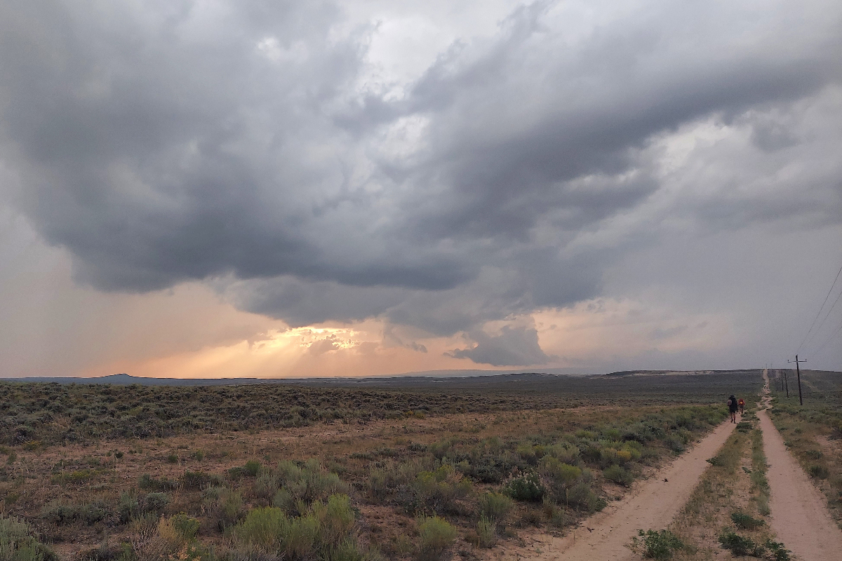

Thru-hiking is one of the hot, new, outdoorsy things. Everybody wants to go hike one of the three national scenic trails that make up the triple crown. Will you hike the Appalachian Trail (AT) out east? Will you be like Cheryl Strayed and take on the Pacific Crest Trail (PCT) to the west? Or will you be one of the few, the brave, who walk along the spine of our nation on the Continental Divide Trail (CDT)? Don’t believe the hype. I’ve hiked most of the PCT, and while I haven’t hiked the whole AT, we’re well-acquainted. The CDT I have hiked border-to-border. It kept my interest and stole my heart. Here’s why the CDT is better than the AT and the PCT both.
Videos by Outdoors
It’s a Choose-Your-Own-Adventure Trail
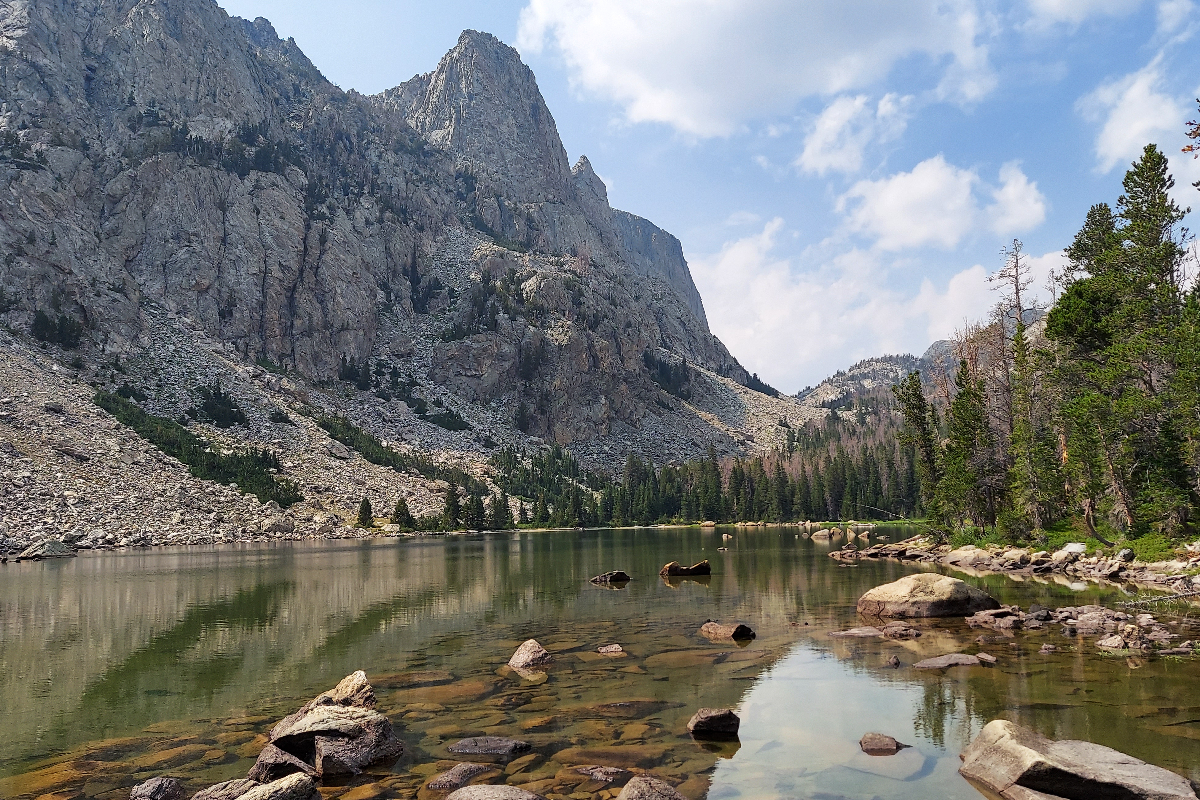
If you look at the CDT maps on FarOut, the thru-hiking GPS app of choice, you’ll see one big, red line with multicolored diversions called “alternates.” The AT and the PCT have alternates too, but the CDT is better at them, the alternate queen. You can’t hike this trail without taking alternates.
Take the Gila Alternate in New Mexico, for instance. After your first 180 miles heading northbound, you can choose to continue through the desert and some admittedly beautiful mountains or you can cut off 70 miles by walking north along the Gila River, full of life and beauty and high canyon walls. 99% of hikers take this route instead of the “true” CDT.
The real fun, though, comes in making your own alternates. In Colorado’s South San Juans, my trail family and I “cut a corner” by piecing together some other trails and forest roads. We glissaded down a snowy slope, getting into lower elevation to get out of the snow, then made our way back up to the trail later in the day. It probably didn’t save us any time, but it was a fun adventure. Later in Colorado, a hiking buddy and I did much the same on a larger scale, cutting off over a hundred miles, embracing an adventurous urge. That’s just the kind of vibe the CDT brings.
The CDT’s Desert Is the Best by Far
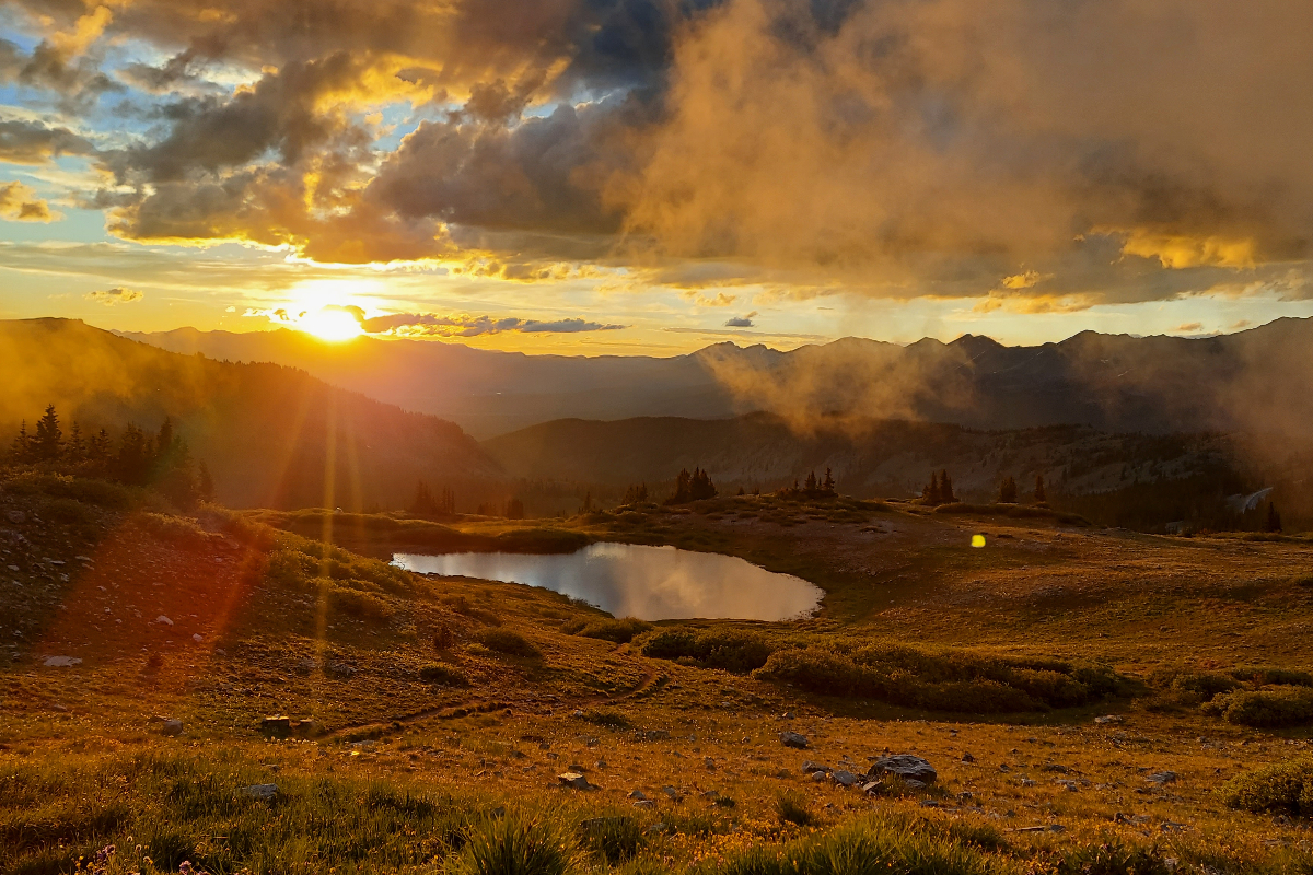
Let me say that I love the PCT’s Southern California section. Those first 700 miles are where I learned how to backpack, summited my first mountain, and became a thru-hiker in earnest. The community in that section really lifts up new hikers especially, and I was one of them. Since the AT doesn’t have a desert, it’s a toss-up: between the CDT and the PCT, who’s better?
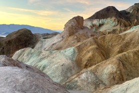
The desert in New Mexico was just a cut above. The mesa’s red, yellow, and white layers show you the age of the earth. The sagebrush is a constant companion, and to this day when I smell it, it takes me back. There’s a tough reality to this Chihuahuan Desert, of course. The water carries are tough, some of the water sources are less than pleasant, and you will definitely have to crawl under some fences. However, the fact that Georgia O’Keefe lived and painted in northern New Mexico, right near Ghost Ranch where the CDT passes through, should say something. Those petrified sand dunes and that color palette are just impossible to beat
It’s One Long Highlight Reel
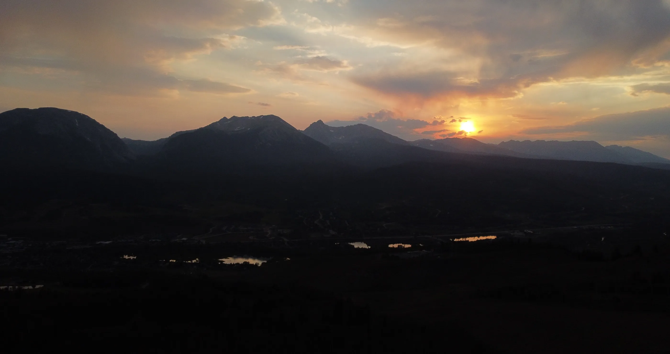
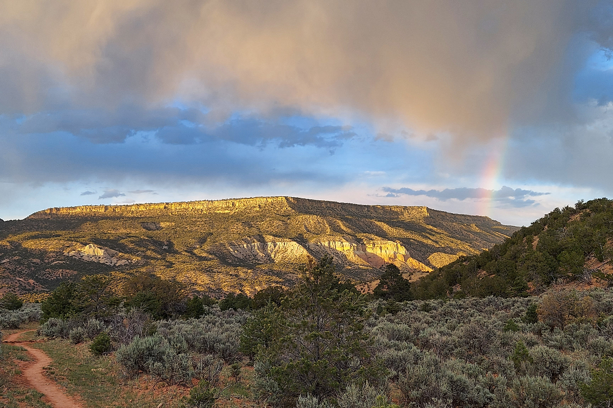
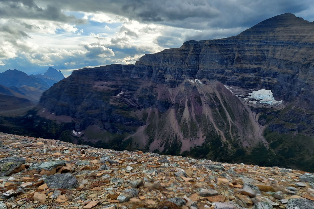
Okay, admittedly, the roadwalking in southern New Mexico can be annoying, but for my money, the CDT has more, better natural features per capita than the AT or PCT. Let’s break it down. On the CDT, you go from Georgia O’Keefe’s desert stomping grounds to Colorado’s majestic mountain ranges, (it’s all so good in that state.) Getting into Wyoming, you’ll take on the Great Divide Basin, or Desert 2: Electric Boogaloo, as CDT hikers might call it. The Basin is tough, long, exposed, and hot, but it’s still somehow really cool. From there, you go into the Wind River Range, which is on par with the PCT’s Sierra Nevada for majesty. You can pop over into the Tetons, another ridiculously beautiful National Park, then it’s up to Yellowstone. A couple sections into Montana, you’ll head into the Bob Marshall Wilderness, rugged, remote, and breathtaking. Then, the northern terminus is in Glacier? I mean, are you kidding me?
The Northern Terminus Wins, Too
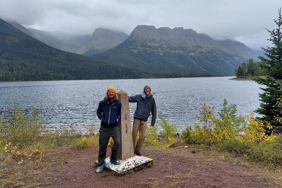
This competition is close. I would never talk down on Washington’s North Cascades, which are an incredible place for the PCT to finish. As far as an iconic photo at the end, the AT’s Mount Katahdin is impossible to beat. As far as the setting goes, though? The CDT’s terminus location in Glacier is better than either the AT or the PCT.
Glacier is so ridiculously beautiful. In all my hiking, I’m really not sure if there are any experiences that beat out finishing the CDT in Glacier. It’s a spiritual place, and you can feel as you walk through. It is of sacred significance to its native Blackfeet people, too. They call it “The Backbone of the World.” Walk respectfully through here, consider the journey that brought you this far, and revel in the best northern terminus of the triple crown.
You Might Actually Get Some Peace and Quiet
Let’s face it, the PCT and the AT are crowded. On the PCT, I was expecting some solitude, and I actually ended up oversocialized, especially at the beginning. To contrast, the CDT has the perfect amount of other thru-hikers. You might see a few at water sources, and you’ll see each other in town, but if you came out here looking to be alone, you can do that. Another fantastic feature? You don’t need permits. I mean, passing through some National Parks, you’ll have to get a couple, but there’s no killer lottery system like the PCT. Of course, it’s steadily growing in number of hikers and infrastructure. If you’re after that solitude, better to get out there sooner than later.


