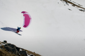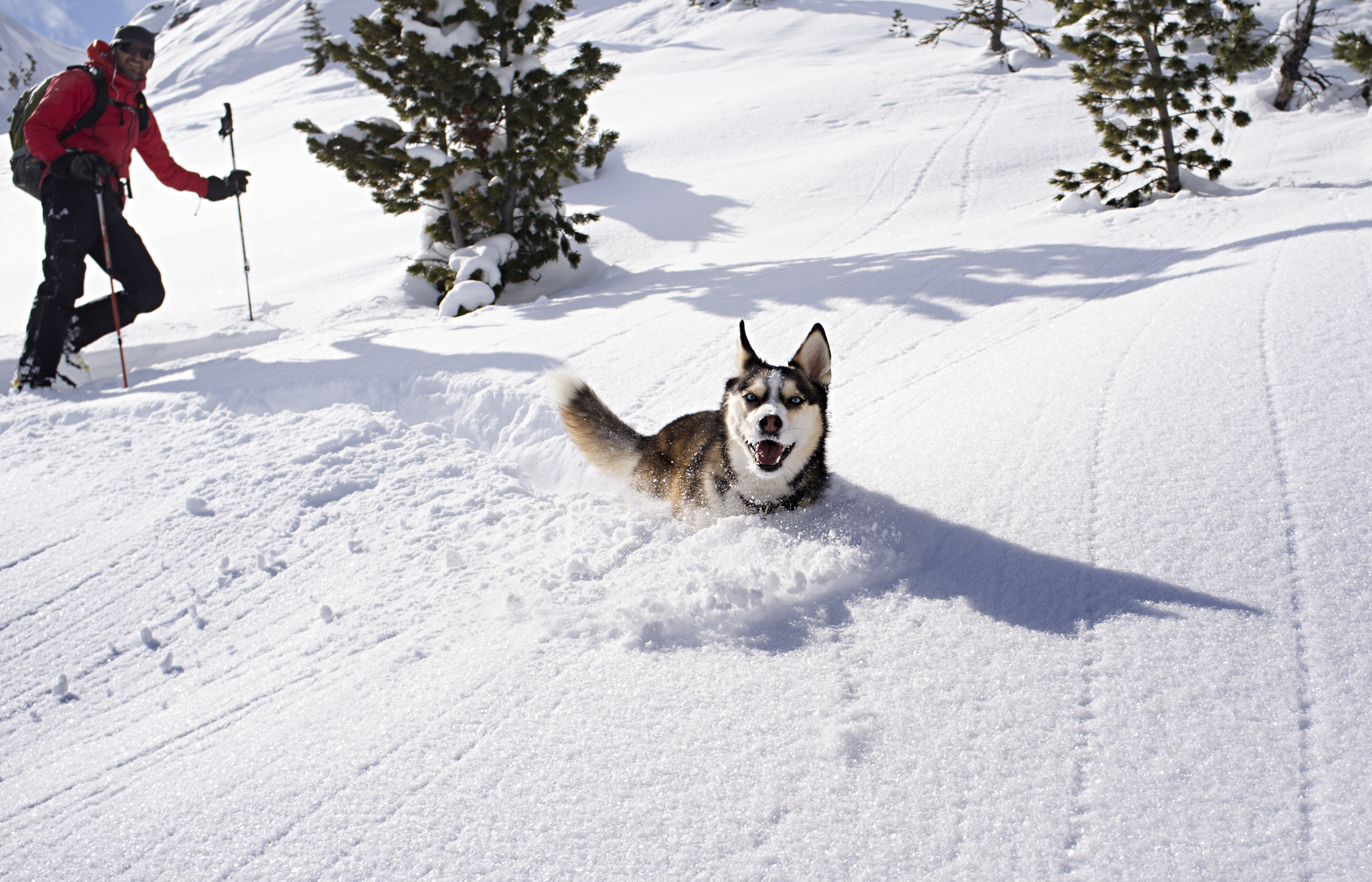
The crunch of the snow set against the deafening silence of winter is enough to excite those who love winter sports. However, whether you’re a fan of hiking, skiing, snowboarding, or snowshoeing, it’s essential to know how to predict an avalanche.
Videos by Outdoors
An avalanche is a wall of ice and snow that hurles down a mountain. A person trapped in an avalanche risks injury and even death. Understanding where avalanche risks are is critical while enjoying time in the mountains in the winter.
In just Oregon and Washington State, avalanches were responsible for five deaths last winter. British Columbia saw a particularly deadly year in Canada, where 14 people died in eight separate incidents. According to the National Avalanche Center, avalanches kill more people in U.S. National Forests than any other natural hazard. On average, there are about 25 to 30 deaths a year.
The National Avalanche Center and several regional organizations provide daily forecasts of avalanche risk levels. However, officials say it’s up to you to spot problem areas, have proper training and be equipped with the right tools when venturing into avalanche territory.
How to Predict An Avalanche and the Warning Signs
Before heading out, you’ll need to do some research. First, check avalanche forecasting sites for recent avalanches. Those may be the best areas to avoid, especially when there are persistent slabs, meaning recurring avalanches. The same is true for checking current and recent weather in the area. A heavy snowfall or steady rain increases avalanche risks, and you need to consider that when planning your day.
Once you’re in the backcountry, there are several factors to remember. If you see an area that recently had an avalanche, that’s a good indicator that it can happen again. Also, keep an eye out for snow drifts or cornices of snow. That’s where large amounts of snow stack up, increasing the likelihood of an avalanche.
Identifying Avalanche Terrain
There is an ideal slope angle for an avalanche. Generally, any mountain slope that is 35 to 50 degrees increases the risk of sliding snow and ice. Slopes less than 30 degrees rarely see avalanches. Buying and bringing an inclinometer will help you understand the dangers of the trails you are hiking on.
Here’s how to efficiently use this tool.
Tools and Safety
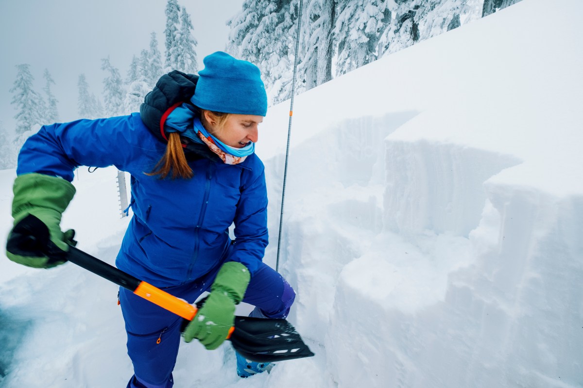
Besides an inclinometer, anyone venturing into avalanche territory should carry a transceiver or beacon if they become trapped under the snow. Other tools include a probe, which can be almost any stick that can check the snow for a person underneath. Plus, a shovel to help dig someone out.
Avalanche experts suggest you always travel with others in winter in the mountains. If an avalanche traps someone under snow, a second person must dig them out and call for help. Also, move one at a time through an avalanche-prone area to reduce triggering an avalanche.
Finally, experts recommend taking an avalanche safety class to further all these skills.
As the National Avalanche Center says, “The forecast is only a starting point. You control your own risk by choosing when, where and how you travel.”