The advent of Global Positioning Systems, or GPS, changed not only backcountry travel, but the entire world. Now, we can simply get in our cars, plug in an address, and not get lost. I lived like that for three years in one city, then looked up one day and realized I could barely navigate the area surrounding my house. Our wilderness experiences are much the same. Hikers trod though, heads in their phones, following a line through the woods. What happens if that phone dies? Would you know where you are? Here’s why we are far too reliant on GPS and what to do about it.
Videos by Outdoors
Being Too Reliant on GPS Is a Liability
For this article, I spoke with Evan “Couscous” Leonard, a seasoned backcountry navigator. He’s hiked the Triple Crown, developed both a Sierra High Route and a North Appalachian High Route, and helped with search and rescue in Tahoe.
Do You Know Where You Are?
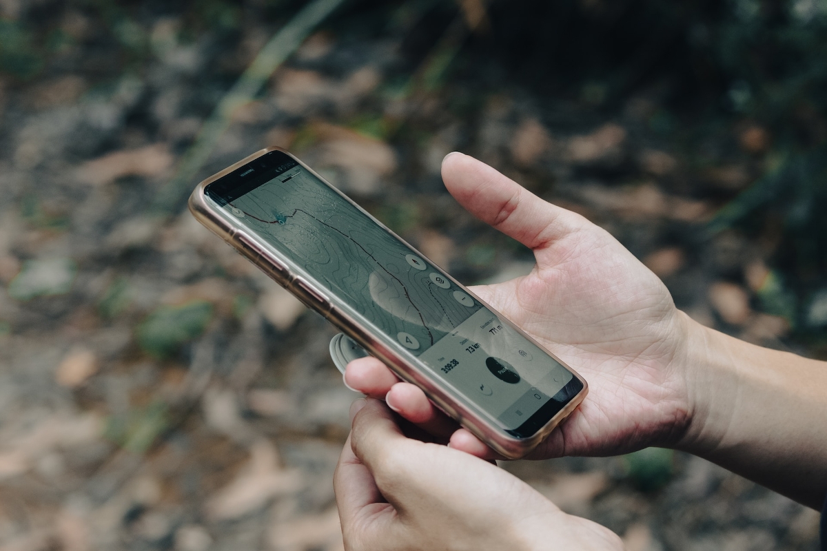
Couscous and I both hiked the PCT in 2019, which was a record snow year at the time. He had already hiked the AT and had a handle on backcountry navigation, but was not quite an expert. As the PCT class of 2019 made our way through the Sierra Nevada, navigating mountain passes and valleys as snow obscured the trail, we often looked quite silly. We’d be plugging along through a snow field, checking and re-checking our GPS app, FarOut. We would look, realize we were a few feet off trail, then try to find our way back to the trail proper, buried beneath the same snow we’d already been walking on, going in the same direction. When you zoom out, this devotion to a trail buried beneath snow is a little ridiculous. If we understood our surrounding terrain better, we could save time and mental energy.
Do You Know How to React?
These days, analog navigation gives Couscous, vitally, the ability to pivot. He can “make on-the-fly decisions much more confidently and accurately.” In avalanche terrain, for instance, he might come across a slope that the GPS says is not avalanche-prone, yet he’s looking at a recent slide. What does he do? He has to utilize his experience and knowledge in tandem with his map to make the call–continue and follow the app? Or change the plan? Backcountry navigation becomes an art more than a skill, merging data with live information to make such decisions. Maps are tools, not something to blindly follow. “You always have to ask,” says Couscous, “was the person here before me truly safe, or just lucky?”
What About When That Phone Dies?
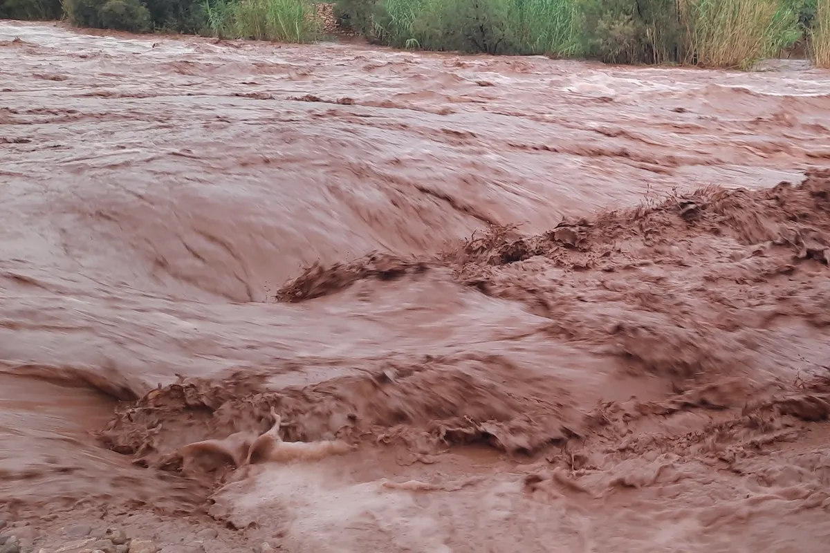
As contemporary backpackers, we jump through many hoops to keep our phones safe and alive. We pack out battery banks, we employ cases and screen protectors, we value that piece of technology and keep it functioning at all costs. For most of us, it’s our map. It might also be our safety lifeline if we don’t have a Garmin. And yet, phones break. They get wet. I’ve broken a phone on trail, I have plenty of friends and stories about folks who have done the same. It doesn’t always happen in a worst-case scenario, but what if it does?
Couscous has run into plenty of hikers throughout his years who come up to him and say, “Oh, my phone died. I have absolutely no idea where to go. Can you help me?” If these hikers, too reliant on GPS, didn’t have others around to help, what would they do? If they needed and were able to contact search and rescue, could they even tell them where they physically are in the mountains? Couscous has been on the “B” team for Tahoe’s search and rescue, so he gets the pages when people are lost. Often, they are so close to civilization, but they have no idea how to read a map or their surrounding terrain. There’s so little awareness of the topographical features that they can’t navigate, and this is in broad daylight.

So How Do We Develop These Skills?
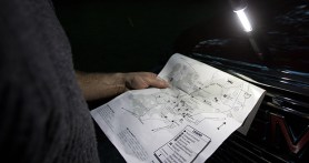
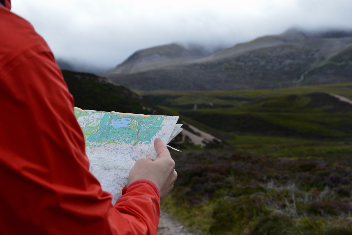
Couscous developed his foundational orienteering skills growing as a Scout, eventually becoming an Eagle Scout. Hiking the AT, he utilized a guidebook instead of his phone. He combined visual data in the form of paper maps with raw data, specific directions, from his guidebook. Later, on a chainsaw crew in Great Basin National Park, he often had to bushwhack off-trail to get places he needed to go. As his experience in the outdoors grew, he would learn to navigate simply via topographic maps.
If you want to work on these skills yourself, a class of some sort is a great place to start. As you expand those skills, though, lived experience is by far the best way forward. “I’m a big fan of trial by fire,” says Couscous. “Go do something big in terrain you aren’t entirely familiar with using paper maps, but with the backup of a GPS app or device.” This will enable you to confirm where you are on paper, with a failsafe if you’re not sure about your decision-making. The knowledge that comes your way will surprise you. What time is it, and what side of you is the sun on? What side should it be on? Hopefully, eventually, your phone just becomes another part of your navigational toolkit rather than its heart and soul.
Being Too Reliant on GPS Is Limiting Our Potential
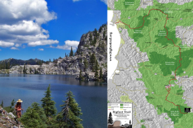
Couscous’ attitude toward navigation has opened doors for him. He’s graduated from the need for a trail in some ways. In creating his own Sierra High Route, linking predetermined routes with some of his own making, he was able to use his navigational skills to access places where few others go. In creating his North Appalachian High Route, he used CalTopo to link peaks, pre-existing trails, and burly traverses of his own imagination. He has a sense of freedom in the outdoors that is hard to come by. If all we know is the line on a GPS app, we’ll never be able to expand beyond it.