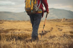
The Teton Crest trail is a backpacking trip that should be a high priority on anyone’s list. Big sky country — Wyoming and Montana, chiefly — boast some of the best outdoor experiences available across America. Nearby, Yellowstone may be the recipient of international attention, but Grand Teton National Park should not be ignored. Looking up at the Grand Teton and its surrounding peaks is as stunning a view as outdoor adventurers can find.
Videos by Outdoors
It’s common to see a line of climbers summiting The Grand in good weather, and the most popular parts of the park can end up quite crowded. Hiking the Teton Crest Trail is the best way to drink in these sharp, epic spires from an angle not many get to take in. Those that stick to their cars will only ever see the Tetons from the east, while folks willing to strap a pack on and trek through the park will be afforded a view from the other side, accompanied only by the nature around them. I’ll take you through what to expect for a trip like this and how to make it happen.
The Teton Crest Trail
Grand Teton National Park is located in northwestern Wyoming, south of Yellowstone and just east of the Idaho border. You’ll be walking, as always, on Native Land, that of the Tséstho’e, Shoshone-Bannock, Newe Sogobia, Cayuse, Umatilla, and Walla Walla. The “classic” Teton Crest Trail’s southern terminus is the Phillips Bench Trailhead off Highway 22, while the northern terminus is Leigh Lake Trailhead.
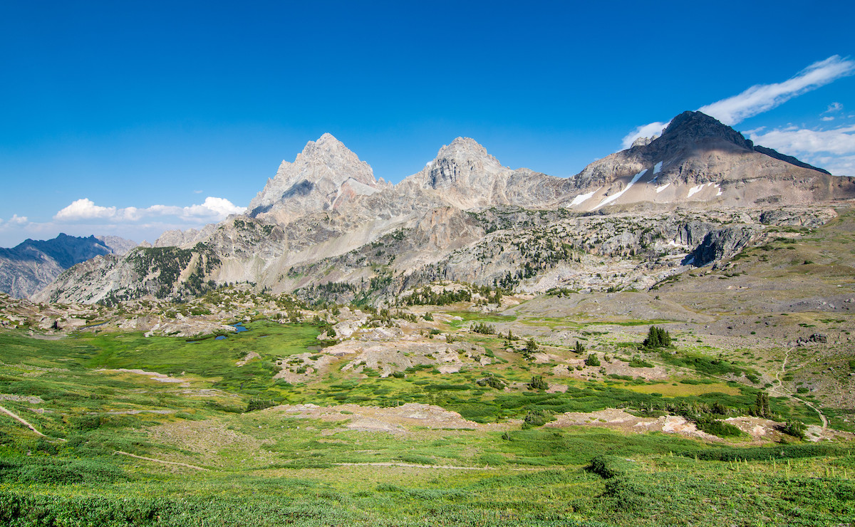
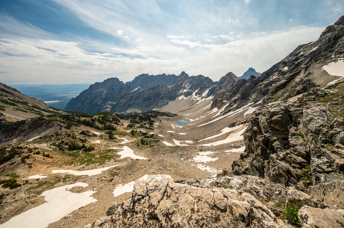
Along the 40-mile route, you’ll climb up to the high points of Paintbrush Divide and Hurricane Pass, both of which offer epic views above 10,000 feet. Solitude Lake, sitting between the two, is a perfect high alpine lake for a long lunch break. In peak seasons, there may be crowds there despite its name, but when my group and I were there we had it all to ourselves. There are plenty of possible variations on this most common route, but I’ll dig deeper into those later in the article.
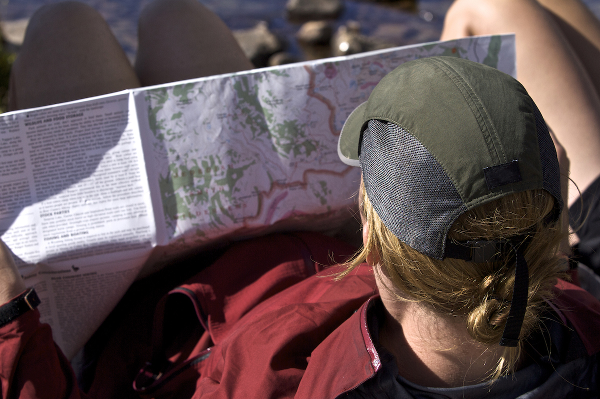
Backpacking the Teton Crest Trail involves hiking and camping through a national park, so some logistical considerations come along with that, but it also means the NPS is a great resource. You will need to get permits to camp, which can be arranged ahead of time at Recreation.gov. The online system can be competitive, so be ready when it opens on Jan. 10 at 8 a.m. Mountain Time. Only a third of each year’s available Teton Crest Trail permits can be reserved in advance, so if you don’t get one of those, your best bet is to show up in person.
The hiking season starts in May, and from May 16 onward, permits are given out first-come-first-serve at ranger stations. It costs $45 per advance permit and $35 for walk-ups.
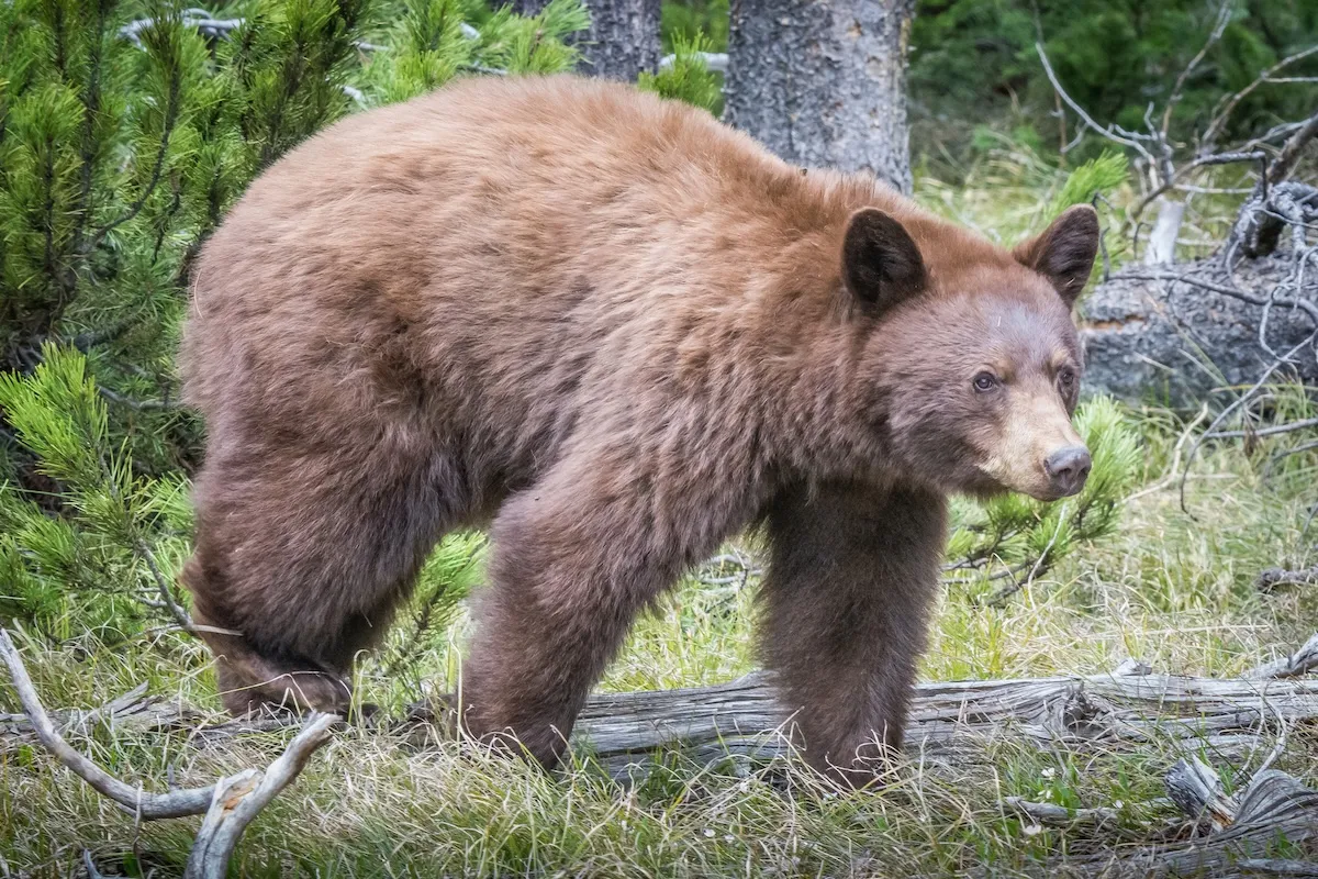
I have personally backpacked over 4,000 miles across America, and I can’t stress enough: The Teton Crest Trail is one of the best backpacking experiences you can have. There are so many reasons to go, including plenty of wildlife you may run into — elk, pika, marmots, moose, pronghorn antelope, and black or grizzly bears.
Additionally, the presence of grizzlies requires some special considerations for gear, which I’ll outline below, and it’s very important to educate yourself on food storage practices if you’re not already familiar. I, myself, had close-up experiences with foxes and bighorn sheep, and it made the experience that much more magical.
Details
The Teton Crest Trail’s elevation profile isn’t too intimidating, but it’s not a cakewalk either. Halfway Anywhere is a fantastic resource to aid you in your planning, and he breaks it down by the numbers. I’ve adjusted the elevation change he provides to reflect a northbound hike, which more closely matches my personal experience:
- Length: 35 to 40 miles
- Difficulty: Moderate to Hard
- Time: 3 to 5 days
- Elevation: 8,089-foot gain / 8,112-foot loss
On his page, you’ll also see a five-day Teton Crest Trail itinerary, a great plan for backpackers with any experience.
Overall Experience
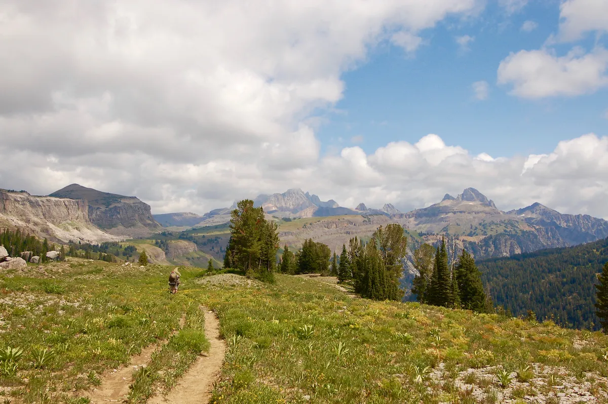
The Teton Range is singularly impressive. The Tetons have young, jagged rock faces reminiscent of the Sierra Nevada or the nearby Wind River Range. This trail has the climbs and the vistas to rival almost any other region, but it has high, flat, cruisey sections from which to enjoy the view as well. They have the commanding presence of much more isolated mountains, but even when clustering together they complement rather than diminish each other.
My trail family and I opted to take the aerial tram up from Teton Village, which cut off a couple of thousand feet of climbing. Perhaps that alternate approach is counter to the spirit of backpacking, but we were amid a five-month thru-hike, so we felt it was justified. We followed the Rendezvous Mountain Trail to the South Fork Cut-off Granite Canyon Trail which connected us to the official Teton Crest Trail again.
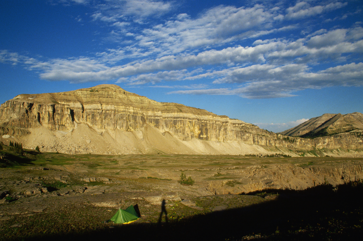
That first night, we walked along a brief plateau by the Middle/South Fork Granite Group Site and were treated to an incredible sunset. I remember one of my companions whooping in delight and rushing along the trail. The sky was waves of red and orange as the sun disappeared behind a ridge. In front of us, a field of green mottled by yellow brush rushed out to leap up into a copse of coniferous trees.
The perfect Teton Crest Trail itinerary will be different for everyone, but the only downside to our hike was that we had to move quickly and do long days because of the longer trip we were on. One of the nice things about the permits available is that they allow up to 10 consecutive days of camping in the park. If you’re willing to carry a little extra weight and pack out plenty of food, try to draw out your trip and enjoy it. A six- or seven-day trip will leave you with plenty of time to rest in all the beautiful areas you walk through.
Tips for Future Hikers
Speaking of those permits, don’t despair if you couldn’t quite snag one. The Teton Crest Trail occasionally leaves Teton National Park and dips into the Jedediah Smith Wilderness Area. This means you can still experience everything the trail offers, but your camping options will be more limited. Gaia GPX shows that you can still camp in the following areas:
- South of Phillips Pass and up to 3.2 miles north of there
- In between Fox Creek Pass and 0.4 miles north of Marion Lake
- Alaska Basin, north of Mount Meek Pass and south of Hurricane Pass
Essentially, this means that if you can get the trail done in three days, you can hike it without a permit. The main limiting factor here will be one day with 17+ miles and most if not all of your two biggest climbs.
Essential Gear and Supplies
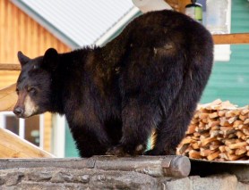
When you’re gearing up for hiking the Teton Crest Trail, there are a few grizzly considerations to make. Besides your regular backpacking setup, you are required to bring either a bear can or an approved bear bag. Here’s a brief gear list.
- Layers: Merino wool baselayer, clothes to hike in, a light jacket, and a puffy for versatility and warmth.
- Rainjacket: At least a jacket and rain pants in case of inclement weather
- Food setup: Camping stove, meals, dried goods.
- Water filter/purification tablets: Water is plentiful along the trail.
- Shelter: Established campsites allow you to bring almost any shelter you’d like.
- Hygiene: Toothbrush/toothpaste, restroom necessities, hand sanitizer
- GPS/Maps/Beacon
- Bear Can/Bear Bag: They can be heavy and bulky, but they’ll keep both you and the bear safe.
- Bear Spray: The most useful deterrent for grizzlies.
If you’re going at the beginning of the season — May or early June, during the thaw — you may need to consider bringing an ice ax or microspikes. Check out snow conditions, and if you need that gear, make sure you know how to use it. Teton Crest Trail weather isn’t notoriously bad, but keep an eye out for brief rainstorms throughout July and August too.
Best Way to Trailhead
The town of Jackson Hole is the park’s most popular access point and a tourist destination in its own right. Any run-of-the-mill GPS app should be able to guide you to these access trailheads, the first two being the “classic” southern and northern terminus respectively:
- Phillips Bench Trailhead
- Leigh Lakes Trailhead
- Granite Canyon Trailhead
- Phillips Canyon Trailhead
- Teton Village
There is no overnight parking in Teton Village, so if you have friends in the area it’s best to ask them for a ride. If you don’t have access to a car, there is a bus that runs from Jackson Hole to Teton Village. Otherwise, it’s such an outdoorsy area that you can probably catch a ride if you feel comfortable making new friends or hitchhiking.
Additional Trails
When my group and I hiked the Teton Crest Trail, we took an alternate route that brought us up to Flagg Ranch at the southern end of Yellowstone. I’ll give you a brief idea of the most viable route without bushwhacking, but this alternate is considerably longer than the Teton Crest Trail and requires more backcountry knowledge and awareness. If you choose to take this route, be sure to do some research of your own, since the trails will not always be as well-maintained as inside the National Park. I traced this mish-mash of trails out on Gaia GPX.
- From Hurricane Pass, go west 3.4 miles to South Teton/Buck Mt. Pass
- North 0.3 miles to Teton Canyon Campground
- Northeast on “North Teton Trail” for 0.5
- Cut northwest onto Beard’s Wheatfield Trail
- Follow north until South Leigh Trail, which you will take northeast
- South Leigh Trail will become Teton Crest North Trail
- Follow a long way north to Jackass Pass
- From the pass, go east on Berry Creek Trail
- Follow to Glade Creek Trail, and take north to Glade Creek Trailhead
- Go east on Grassy Lake Road to Flagg Ranch
This route will have significantly more mileage and a more difficult elevation profile — not for the faint of heart!
Experience One of Wyoming’s Treasures
No matter how you do it, get out into the Tetons. Bridger-Teton National Forest is one of Wyoming’s treasures, and I hope you enjoy it as much as I did. If you want to beat the Yellowstone crowds, head down to Grand Teton National Park, and if you want to beat those crowds, toss on a pack and hike into the distance. A day hike up to Paintbrush Divide or Phillips Pass is better than nothing, but this park is worth as much time as you can give it. I remember getting to the top of Hurricane Pass and looking up at The Grand Teton — it’s a sight I still cherish.