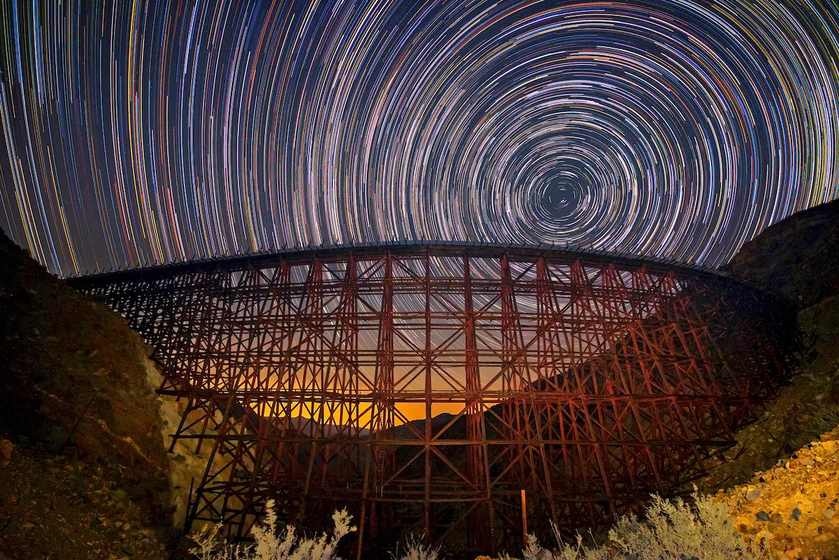
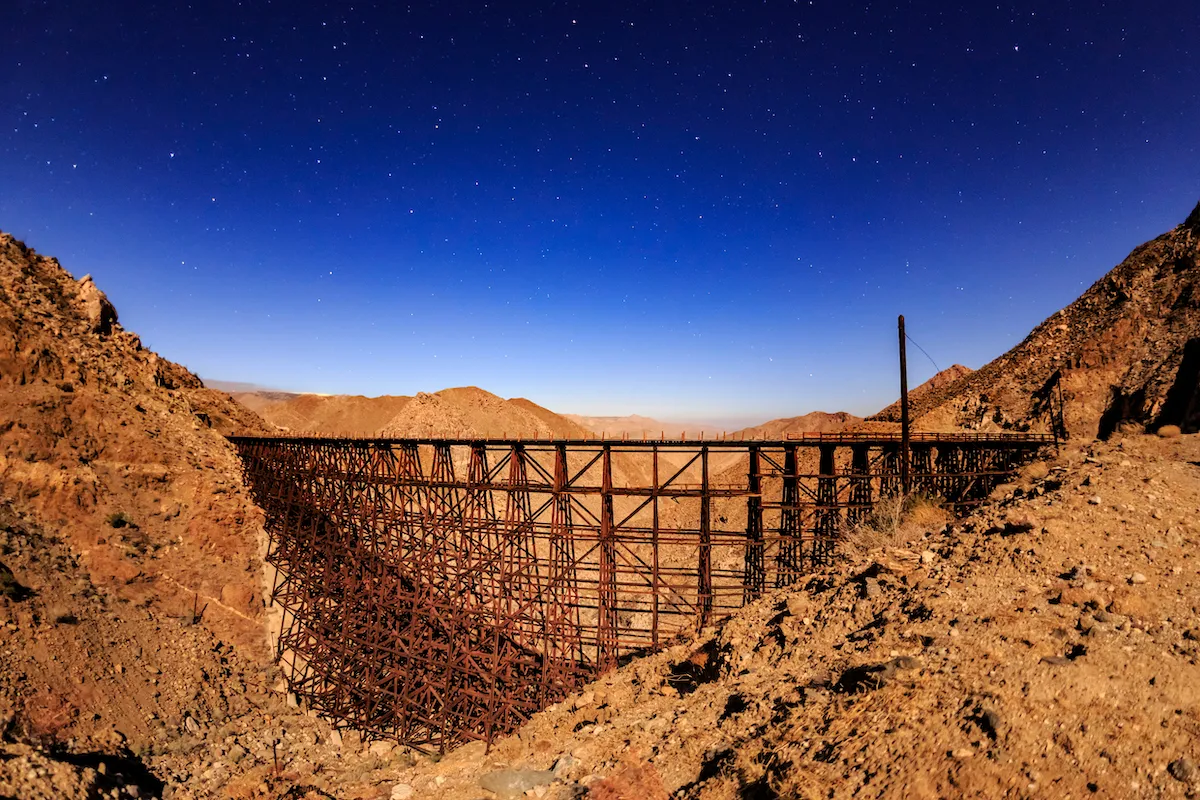
Just north of the Mexico border, in the Anza-Borrego Desert State Park, you’ll find a marvel of modern engineering built into the rugged desert landscape. Standing about 200 feet tall and nearly 650 feet long, it’s the world’s largest wooden railroad trestle. It’s called the Goat Canyon Trestle.
Videos by Outdoors
Outside of hardcore hikers and railroad enthusiasts, the nearly 100-year-old trestle seems to be largely unknown. Part of the reason why is that the bridge runs along an abandoned line of track. Yet another reason is that no matter which route you take to get there, it’s a grueling trip.
Goat Canyon Trestle
The Goat Canyon Trestle was built in 1933 by the San Diego and Arizona Eastern Railroad. It was part of an effort that became known as The Impossible Railroad, because of the logistical challenges the unforgiving desert landscape posed for engineers.
While the tracks stretched more than 140 miles — linking San Diego to farms in Imperial Valley and even parts of Mexico to rail lines out east — the trestle, nestled in the Corrizo Gorge, was considered the gem of the entire project. Leading up to the trestle, workers had to blast through mountains to build tunnels and construct numerous bridges and additional trestles along the way.
The massive project also required regular maintenance, which wasn’t always economically viable for the rail line’s various owners. Today, Goat Canyon Trestle continues to be a point of interest for some, but it’s just not always prioritized. For two decades, private investors reportedly leased nearly 70 miles of the rail line from the current owners, the San Diego Metropolitan Transit System, but they did very little with it, due in large part to financial costs. Later, they ultimately ended the contract in 2020.
Three Routes
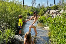
There are multiple routes to take to reach the Goat Canyon Trestle. While there’s overlap in the experience — you’ll see several abandoned and heavily graffitied railroad cars, pass by a nudist colony, walk through some railroad tunnels, and cross a variety of bridges and trestles — they either follow the railroad tracks or require a lot of scrambling.
Also, just about every forum and trail guide will tell you that any route you take to the Goat Canyon Trestle will be difficult and dangerous. It’s difficult because you’re hiking through an unforgiving desert landscape. While it’s full of sand, rocks, and cacti, it’s also almost entirely exposed to the sun, which is why many recommend hiking it between November and May.
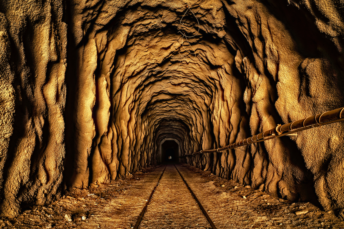
It’s dangerous because of more than just the sun exposure. None of the routes are maintained, so outside of following the tracks, there’s no official trail. In addition to understanding desert navigation, you’ll also have to traverse through deteriorating tunnels and bridges.
Additionally, the routes that follow the tracks are considered easier, but they’re also illegal, because you’re not supposed to walk on the tracks. It might sound like semantics walking on or beside the tracks, but it’s private property. The slope gets even slippier, however, because while you can be ticketed for trespassing, it reportedly rarely happens.
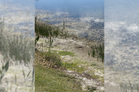
Jojoba Wash
The highest-rated trail starts at Jojoba Wash, a low point in the Anza-Borrego park where water flows when it rains. When compared to other mapped trails that lead to the trestle, it’s the longest.
According to Google Maps, the most convenient way to get to Jojoba Wash is to take Kumeyaay Highway (or Highway 8) and turn off near the tiny town of Ocotillo, California. From there, you head north on the Imperial Highway, which eventually turns into Sweeny Pass Road, for about 10 miles and you’re there.
From the wash, it’s a little less than nine miles to the trestle, or an approximate 17.5-mile round trip with a gradual 1,500-foot elevation gain. However, many people say it takes more like 10 miles to get to the trestle.
Palms to Dos Cabezas
The Palms-to-Dos Cabezas trail is about five miles shorter than the Jojoba Wash, but it’s generally considered to be more difficult. It’s a 12.8-mile loop with about 1,935 feet of elevation gain. In all, it takes about six hours to complete.
According to the Anza-Borrego Desert Natural History Association, the Dos Cabezas was the name of a station on the SD&AE route, but all that remains of the station is a water tower. Today, the Dos Cabezas Road is one of two roads used to enter the area, which you can access from Imperial Highway, just off the Ocotillo exit. However, you’ll need a 4×4 to navigate the road.
Mortero Palms
The trail starting at Mortero Palms is the shortest, but it involves lots of scrambling through rocks. Even before that, it’s a difficult drive to the trailhead. Overall, it’s a 5.8-mile trail with 2,401 feet of elevation.
In a recent critique on AllTrails, one hiker said the views are spectacular and the tunnels and trestles are awesome, but the juice may not be worth the squeeze. His reasoning was it’s a difficult hike both to and from the trestle, but on the way back, it doesn’t end with a rewarding view.
Is the Goat Canyon Trestle worth seeing? Tell us your thoughts in the comments below.