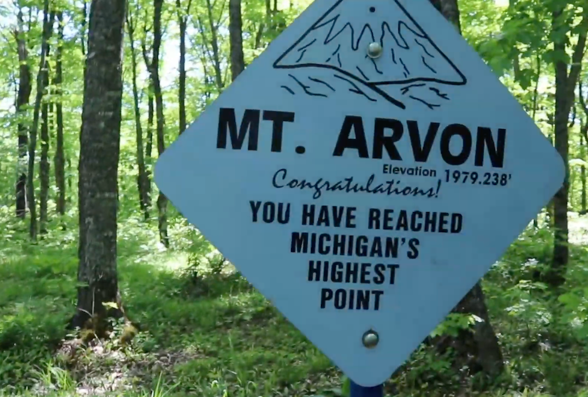
Mount Arvon, standing 1,979 feet tall, is the 38th highest natural point in the United States. To put it into perspective, it’s taller than Wisconsin’s Timms Hill but shorter than Minnesota’s Eagle Mountain. However, it wasn’t always known as the highest point in Michigan.
Videos by Outdoors
For about a century, starting in 1872, the area was used as a slate mine and when the slate was all mined, it became a logging operation. It wasn’t until 1982 that the U.S. Geological Survey measured it and found that it was actually 11 inches taller than what they thought was the highest point in the state.
While the discovery put Mount Arvon in the headlines, it didn’t bring droves of tourists or locals to see its summit. The maze of logging roads, unreliable directions, and remoteness have kept Mount Arvon one of Michigan’s lesser-known gems. Still, the summit is publicly accessible for both drivers and hikers.
How to Get There
Depending on how you decide to journey to the top of Mount Arvon, it’s only considered to be moderately challenging. Plus, there are a variety of routes to access the summit on either foot or a vehicle. But before you begin your adventure, there are a few things to know.
First, the easiest way to get to Mount Arvon is to pass through the town of L’Anse. When in L’Anse, grab water, snacks, and gas as there are no services on the mountain. You will also want to use the bathroom since there is no restroom at the highest point in Michigan.
Second, GPS directions to Mount Arvon are unreliable, including Google Maps, so don’t expect to find directions to the highest point in Michigan in a guidebook either. Instead, watch for blue diamond shape signs, which will lead you to the summit, as you drive along Skanee Road and Arvon Road. The signs aren’t big, so have your co-pilot be on the lookout, as these will give you turn-by-turn directions. Several smaller off-shoot roads can take you away from the summit.
Driving to Mount Arvon
The road up to the trailhead and summit is rocky and unpaved, but the recent regrading of the logging roads has made the drive more enjoyable though. The route up to the summit of Mount Arvon does not require a four-wheel drive, but a higher clearance car will handle the rocky conditions better, especially the last two miles. It is not advised to try and drive up after it rains as the mud can make it impassible. The summit of Mount Arvon cannot be accessed by vehicle in the winter (white tape). The drive is best from May to October.
Directions
- Begin the drive from the town of L’Anse. Head north out of town on Main St. as it turns to Skanee Road.
- After 10 miles, you will come across a gravel road on the right: Roland Lake Rd. (also known as Arvon Road). Look for the white Zion Lutheran Church as a landmark.
- Take Roland Lake Road to where it Ts and turn right onto Ravine River Road. Follow it up to the summit (about 10.5 miles).
- Blue diamond-shaped signs help navigate the way up the curvy dirt road. A parking lot just below the summit and road end is where hikers park to hike up to the summit.
An alternative route to Mount Arvon is from the town of Skanee.
- Head south on Town Rd for a half mile and make a left onto Skanee Rd and follow it for 1.5 miles.
- Turn right on Roland Lake Road (Arvon Rd.) and take it to where it Ts and then turn right onto Ravine River Road. Follow it up to the summit (about 10.5 miles).
- Blue diamond-shaped signs help navigate the way up the curvy dirt road. There’s a parking lot just below the summit. It can fit up to 10 cars.
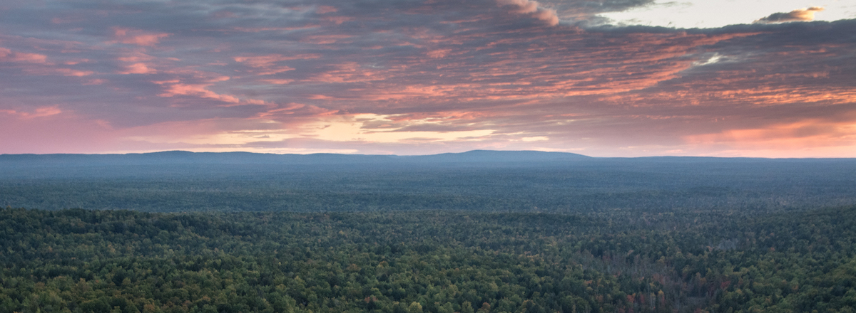
From the parking lot, you can see Lake Superior and Point Abbaye on a clear day. Otherwise, it’s a short hike to the summit.
Hiking to Mount Arvon
The hike to the summit of Mount Arvon begins from a small pull-out parking lot large enough for two to three cars below the summit off of Ravine River Road. The trail is labeled Mount Arvon Hiking Trail and is not to be confused with the Eugene Ott Memorial Trail, which is lower down on Ravine River Road. Because the UP gets several feet of snow each winter, this hike is best done from May-October.
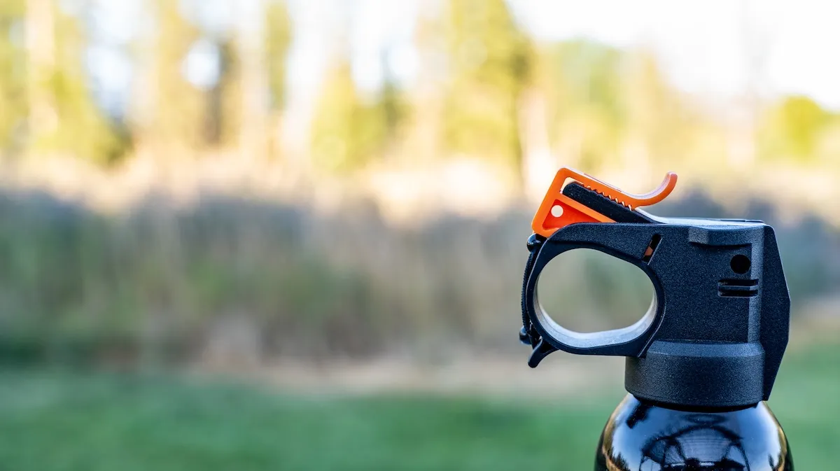
To the summit, it’s a 1.75-mile hike on a single track trail that climbs approximately 425 feet. Since it isn’t well-traveled, you’ll need a good pair of hiking boots or trail runners. Poles aren’t necessary, but they can be helpful for balance. Bug spray is super important during the summer as well as water for the humidity. The trail isn’t steep, but some sections require balance, making it more appropriate for older children and experienced hikers. Your leashed pup can also enjoy this hike.
Look for the frequently placed blue diamond blazes in the trees to lead the way. If you follow the creek, you will find your way to the top. Mostly shaded, the trail features a few creek crossings that are manageable by using rocks or logs to cross over. Note that it may be impossible to keep your feet dry during spring run-off.
Several waterfalls, including Sol-Ner Falls, add to the peace and serenity of the trail. Don’t get confused when the trail leads you several times back to the logging road that takes you to the top if you’re driving to the summit. A blue diamond sign will designate where the trail continues on the other side of the road. Once you get closer to the summit (approximately 0.2 to the top designated with a sign), you will finish the trail by hiking up the logging road to the parking lot for those who drove up.
An alternative and longer hike is to start your hike from Ravine River Road up to the summit. This hike follows the logging road connecting with the Mount Arvon Hiking Trail to the top and back down for 11.2 miles round trip.
Atop Mount Arvon
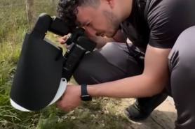
At the top of Mount Arvon, you’ll find a USGS medallion, a blue diamond sign labeled “Highest Point in Michigan,” and several memorials to Eugene Ott, a veteran and local outdoorsman. There is also a bench where you can sit to observe the landscape below.